 HackerTube.runGood videos, with context.
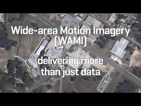
L3Harris Corporation - Wide-area Airborne Motion Imagery
About this video
A short Harris Corporation (L3Harris) promotional video showing wide-area airborne motion imagery, a sensor system for persistent real-time aerial surveillance of large areas.
Why it appears in the archive
HN links it as a concrete demo of what wide-area aerial surveillance can do, in discussions of surveillance planes and cameras.
AI-generated summary and labels from the source dataset; verify important details against the video. Source & credits.
From the Hacker News discussion
Would a demo of what is possible at 4000 feet suffice? [LINK] (4min33sec) Or what was state of the art at DARPA in 2013? [LINK] (4min40sec) Edit: Or more commonly available, just search for "Nikon Superzoom" on youtube, and watch some short demos there. And then imagine those pointed in all directions downwards, the videostream(s) saved to some small storage array, or even transmitted live to some ground station(s), indexed and overlaid on something like google maps, just better, with a time slider. Mark some car at some point (in time) and see where it moves...and so on. Edit: like THIS [VIDEO] (3min13sec) Edit: Oh! And something from 2016 about "The Surveillance Firm Recording Crimes From Baltimore's Skies" (7min29sec) [LINK] Another demo of the same thing from the same person/company in another town, also 2016: "The Eyes in the Sky That Catch Murders on Tape" [LINK] (5min) So why is this news?
Read original comment ↗Perhaps the WAMI (the category of device) is better? At least it sounds whimsical. [LINK] Slightly dated L3Harris version: [VIDEO]
Read original comment ↗Relatedly: Since most people on this thread probably don't know this, we are often under surveillance from high-altitude aircraft. It's incredibly creepy. Book about this: [LINK] Video example: [VIDEO]
Read original comment ↗